

800 Broadway, San Diego
Multifamily Communities
Aerial photography and video that make scale, access, and location clear. From a single building to a complete portfolio.
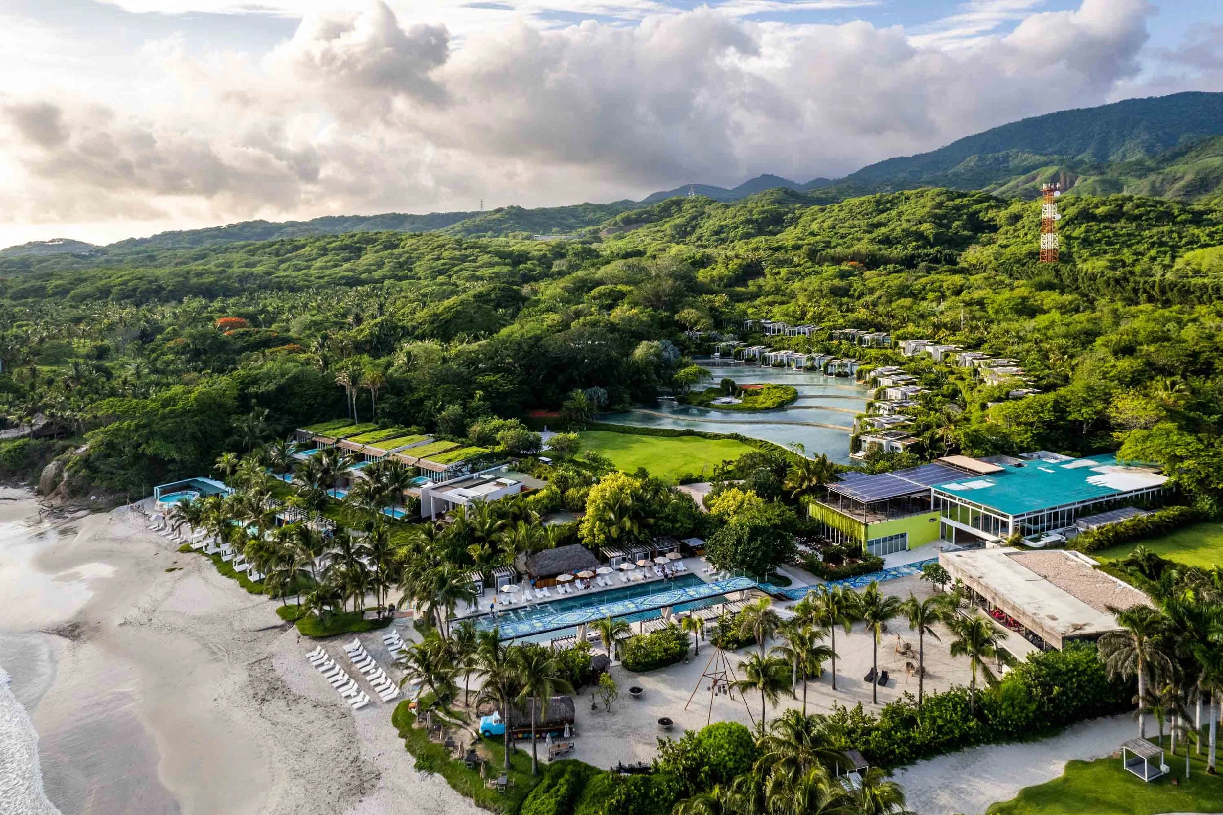
Coastlines, city blocks, industrial sites, and communities, seen in their surroundings.
Multifamily Communities

Hospitality Properties

Commercial

Industrial & Logistics

Multifamily Communities

Senior Housing

We plan each flight to show the property's layout, access, and surroundings.
Carmenita PointReview FAA airspace requirements, site constraints, weather, and light before confirming the flight plan.
Choose heights and angles that show layout, circulation, and surrounding context.
Vary position and movement to make both the property and its location legible.
Select and refine the images and footage while preserving true spatial relationships.
We select height, direction, and timing around the information the viewer needs, with flight planning built into the assignment.

Show the building footprint, outdoor areas, circulation, and how separate parts of the site fit together.
Place the asset within its streets, neighboring uses, landscape, and larger market.
Create aerial photographs and deliberate flight sequences for marketing and presentations.
Our pilots hold FAA Part 107 certification, and our drone operations are insured. We review airspace and arrange FAA authorizations as needed.
Drone aerials reveal scale, layout, and surrounding context. We capture licensed aerial video and photography for properties, portfolios, and developments, delivered ready for marketing use.
Fully licensed and insured aerial production with attention to safety, composition, and lighting. All FAA coordination handled by our team.
Aerial coverage planned around the property's layout, access, surroundings, and the views that matter for the assignment.
| Service comparison | Clearform CreativeYour long-term media partner | OthersOther drone providers |
|---|---|---|
| FAA-Certified & Insured Pilots | ||
| Aerial Photography & Video | ||
| Airspace & Site Planning Before Flight | ||
| Views Planned Around Access & Surroundings | ||
| Coordinated Ground & Aerial Coverage | ||
| Clear Communication | ||
| Flexible Project Scope | ||
| Fast Turnaround |
Feedback from the people we work with across real estate and hospitality.

“Their team consistently delivers stunning, high-definition video and photography that truly captures the lifestyle and unique aesthetic of our communities.”

“Their team not only coordinated the entire schedule and ran pre-planning meetings, but they delivered stunning visuals and managed to tell a compelling story.”

“The Clearform team have been great to work with. They are responsive, efficient, and deliver high quality work.”
Aerial photography and video that make scale, access, and location clear. From a single building to a complete portfolio.
Yes. All our drone pilots are FAA Part 107 certified and carry full insurance. We handle all regulatory compliance and coordinate with property management or facilities teams as needed.
We monitor weather closely and have backup dates built into our scheduling. If conditions aren't safe or won't produce good footage, we reschedule at no additional cost.
Almost anywhere, but there are restrictions near airports, military bases, and certain restricted airspace. We research every location beforehand and obtain necessary permits or waivers if required.
Legally, we can fly up to 400 feet and maintain visual line of sight with the drone. This covers the vast majority of commercial needs for facilities and properties.
Share the address and the views you need. We will plan the aerial coverage.